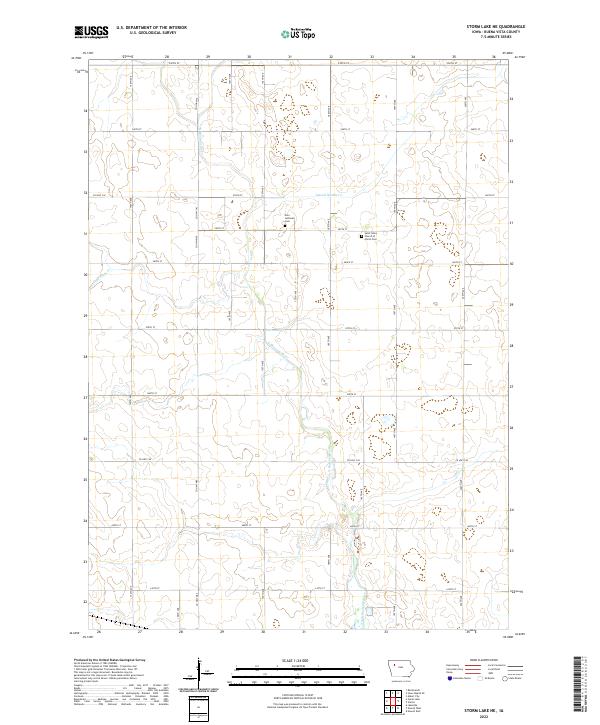
2022 Map of Storm Lake NE
USGS Topo · Published 2022About this map
The N Raccoon River and its southern extension as the North Raccoon River wind through this rural section of Buena Vista County, defining the drainage patterns of a landscape largely dedicated to agriculture. The terrain is marked by the systematic engineering of the local hydrology, evidenced by Lateral Number 2 and the course of Poor Farm Cr. This region maintains its long-standing social anchors at quiet country intersections, where the Zion Lutheran Cem and the Saint Johns Church of Christ Cem serve as important records of the local family history and settlement patterns. A rigid grid of section roads like Co Hwy C43 and Co Hwy C49 organizes the territory, reflecting the enduring township and range surveying system that shaped this part of the Iowa countryside.
Find a feature on this map
25 named features on this map. Tap any name to fly to it.
Don’t see what you’re looking for? This feature index may not catch every label — zoom into the map to look around manually.
Map Details
Editions of this 2022 Storm Lake NE Map
This is the sole edition of this map. No revisions or reprints were ever made.
Other maps of this area

1954 · Fort Dodge
USGS Topo · 1:250,000

1957 · Fort Dodge
USGS Topo · 1:250,000

1958 · Fort Dodge
USGS Topo · 1:250,000

1971 · Sioux Rapids SE
USGS Topo · 1:24,000

1971 · Albert City
USGS Topo · 1:24,000

1971 · Rembrandt
USGS Topo · 1:24,000

1979 · Lakeside
USGS Topo · 1:24,000

1979 · Storm Lake
USGS Topo · 1:24,000

1979 · Varina
USGS Topo · 1:24,000

1979 · Newell West
USGS Topo · 1:24,000