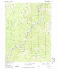
1979 Map of Storrie
USGS Topo · Published 1985About this map
The North Fork Feather River serves as the industrial and transport corridor for this portion of the Sierra Nevada, where hydropower and rail infrastructure dominate the narrow canyon. Small settlements like Storrie, Tobin, and Merlin cling to the riverbanks alongside the Western Pacific Railroad. Significant engineering feats are documented throughout the canyon, including the Bucks Creek Powerhouse, Rock Creek Powerhouse, and the Incline Railway (Penstocks) leading down from the Grizzly Forebay.
Find a feature on this map
67 named features on this map. Tap any name to fly to it.
Don’t see what you’re looking for? This feature index may not catch every label — zoom into the map to look around manually.
Map Details
Editions of this 1979 Storrie Map
2 editions found
Other maps of this area

1886 · Lassen Peak
USGS Topo · 1:250,000

1888 · Bidwell Bar
USGS Topo · 1:125,000

1891 · Bidwell Bar
USGS Topo · 1:125,000

1892 · Lassen Peak
USGS Topo · 1:250,000

1893 · Bidwell Bar
USGS Topo · 1:125,000

1894 · Lassen Peak
USGS Topo · 1:250,000

1895 · Bidwell Bar
USGS Topo · 1:125,000

1897 · Bidwell Bar
USGS Topo · 1:125,000

1950 · Bucks Lake
USGS Topo · 1:62,500

1955 · Almanor
USGS Topo · 1:62,500