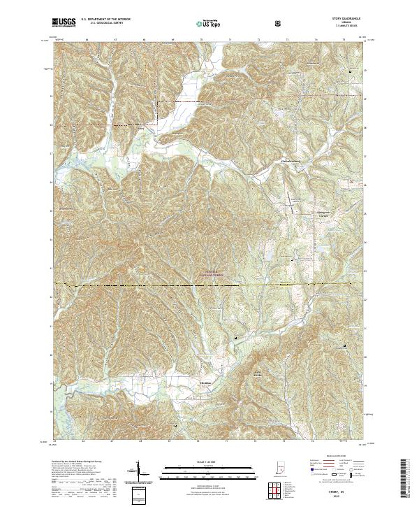
2022 Map of Story
USGS Topo · Published 2022About this map
Hoosier National Forest dominates the southern reaches of this landscape, where the deeply dissected terrain of Nebo Ridge and Berry Ridge creates a complex network of hollows such as Rayburn Hollow and Mitchell Hollow. The settlement of Story serves as a central point where S State Rd 135 meets the Middle Fork Salt Creek. This waterway and its tributaries, including Hamilton Creek and Little Salt Cr, define the drainage patterns between the small communities of Christiansburg and Houston. Local heritage is preserved in several rural burial grounds, including McKinney Cem and Lutes Cem, while the inclusion of the Cherry Hill Airport and Spurgeons Corner reflects the modest infrastructure within this heavily forested region along the Brown and Jackson county line.
Find a feature on this map
100 named features on this map. Tap any name to fly to it.
Don’t see what you’re looking for? This feature index may not catch every label — zoom into the map to look around manually.
Map Details
Editions of this 2022 Story Map
This is the sole edition of this map. No revisions or reprints were ever made.
Other maps of this area

1934 · Bedford
USGS Topo · 1:48,000

1937 · Bedford
USGS Topo · 1:62,500

1942 · Franklin
USGS Topo · 1:125,000

1946 · Belmont
USGS Topo · 1:24,000

1947 · Nashville
USGS Topo · 1:24,000

1947 · Elkinsville
USGS Topo · 1:24,000

1948 · New Bellsville
USGS Topo · 1:24,000

1948 · Waymansville
USGS Topo · 1:24,000

1949 · Nashville
USGS Topo · 1:24,000

1950 · Belmont
USGS Topo · 1:24,000