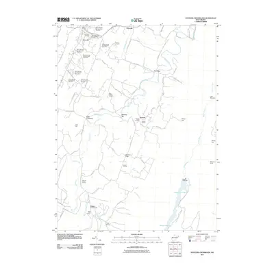
2011 Map of Stotlers Crossroads
USGS Topo · Published 2011About this map
Sleepy Creek and its complex watershed define this portion of Morgan County, where the creek winds northward toward the Potomac. The landscape is marked by a distinctive sequence of flood control structures along Warm Springs Run, including Warm Springs Run Structure One Dam and eight subsequent dams that follow the drainage toward Berryville. These engineering features coexist with a legacy of rural crossroads and family settlements, most notably at Stotlers Crossroads and Smith Crossroads.
Find a feature on this map
77 named features on this map. Tap any name to fly to it.
Don’t see what you’re looking for? This feature index may not catch every label — zoom into the map to look around manually.
Map Details
Editions of this 2011 Stotlers Crossroads Map
This is the sole edition of this map. No revisions or reprints were ever made.
Other maps of this area

1894 · Winchester
USGS Topo · 1:125,000

1898 · Paw Paw
USGS Topo · 1:62,500

1899 · Hancock
USGS Topo · 1:62,500

1900 · Pawpaw
USGS Topo · 1:62,500

1901 · Hancock
USGS Topo · 1:62,500

1910 · Paw Paw
USGS Topo · 1:62,500

1914 · Gerrardstown
USGS Topo · 1:48,000

1916 · Gerrardstown
USGS Topo · 1:62,500

1916 · Capon Bridge
USGS Topo · 1:62,500

1923 · Capon Bridge
USGS Topo · 1:62,500