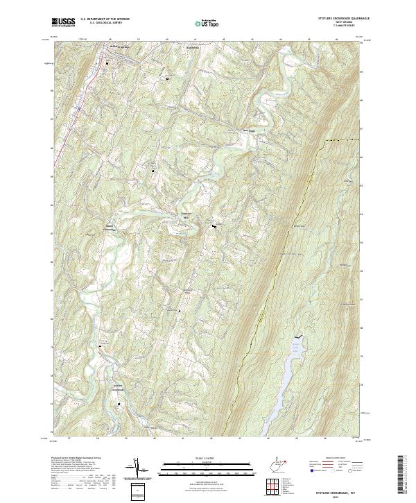
2023 Map of Stotlers Crossroads
USGS Topo · Published 2023About this map
Stotlers Crossroads and the surrounding rural hamlets of Morgan and Berkeley Counties define this high-relief landscape. The terrain is characterized by long, parallel ridgelines like Sleepy Creek Mtn and Third Hill Mountain, which frame the deep valley carved by Sleepy Creek. This area remains a patchwork of small homesteads and local landmarks, centered on crossroads settlements such as Johnsons Mill and Smith Crossroads.
Find a feature on this map
157 named features on this map. Tap any name to fly to it.
Don’t see what you’re looking for? This feature index may not catch every label — zoom into the map to look around manually.
Map Details
Editions of this 2023 Stotlers Crossroads Map
This is the sole edition of this map. No revisions or reprints were ever made.
Other maps of this area

1894 · Winchester
USGS Topo · 1:125,000

1898 · Paw Paw
USGS Topo · 1:62,500

1899 · Hancock
USGS Topo · 1:62,500

1900 · Pawpaw
USGS Topo · 1:62,500

1901 · Hancock
USGS Topo · 1:62,500

1910 · Paw Paw
USGS Topo · 1:62,500

1914 · Gerrardstown
USGS Topo · 1:48,000

1916 · Gerrardstown
USGS Topo · 1:62,500

1916 · Capon Bridge
USGS Topo · 1:62,500

1923 · Capon Bridge
USGS Topo · 1:62,500