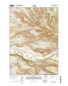
2014 Map of Stout Mountain
USGS Topo · Published 2014About this map
Mehama sits at the southern edge of this landscape, positioned where the North Santiam River flows along the boundary between Marion County and Linn County. The terrain is defined by a dense network of drainage systems, including the S Fork Pudding River and numerous tributaries of Mill Creek, which carve through the elevations of Stout Mountain and McCully Mountain. This 2014 survey captures a mix of timbered uplands and small-scale water management, evidenced by several upland catchments like Siegmund Reservoir, Heater Reservoir, and Alder Creek Reservoir. Aviation footprints are visible near the western border at Kingston Airpark and Horn Airport, while local history is anchored by the Pietrock Cemetery and Mt Pleasant Cemetery. The map also details the rural road network, including Highway 22 and numerous timber access routes like House Mountain Road.
Find a feature on this map
66 named features on this map. Tap any name to fly to it.
Don’t see what you’re looking for? This feature index may not catch every label — zoom into the map to look around manually.
Map Details
Editions of this 2014 Stout Mountain Map
This is the sole edition of this map. No revisions or reprints were ever made.
Other maps of this area

1921 · Lebanon
USGS Topo · 1:62,500

1922 · Lebanon
USGS Topo · 1:48,000

1924 · Lebanon
USGS Topo · 1:62,500

1925 · Stayton
USGS Topo · 1:62,500

1940 · Lebanon
USGS Topo · 1:62,500

1941 · Stayton
USGS Topo · 1:62,500

1944 · Lebanon
USGS Topo · 1:62,500

1951 · Lyons
USGS Topo · 1:62,500

1951 · Snow Peak
USGS Topo · 1:62,500

1953 · Salem
USGS Topo · 1:250,000