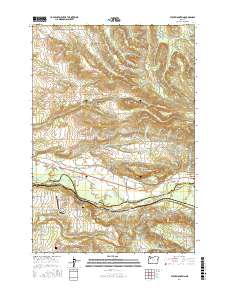
2017 Map of Stout Mountain
USGS Topo · Published 2017About this map
Stout Mountain and McCully Mtn dominate the high ground of this Marion County landscape, where the foothills of the Cascades meet the drainage basins of the North Santiam River and the S Fork Pudding River. The settlement of Mehama sits along the southern border at the river's edge, serving as a gateway to the more industrial and agricultural lands near Geren Island. A complex network of reservoirs, including Siegmund Reservoir, Heater Reservoir, and Kinsey Reservoir, illustrates the managed water systems necessary for this region's local economy and land use.
Find a feature on this map
73 named features on this map. Tap any name to fly to it.
Don’t see what you’re looking for? This feature index may not catch every label — zoom into the map to look around manually.
Map Details
Editions of this 2017 Stout Mountain Map
This is the sole edition of this map. No revisions or reprints were ever made.
Other maps of this area

1921 · Lebanon
USGS Topo · 1:62,500

1922 · Lebanon
USGS Topo · 1:48,000

1924 · Lebanon
USGS Topo · 1:62,500

1925 · Stayton
USGS Topo · 1:62,500

1940 · Lebanon
USGS Topo · 1:62,500

1941 · Stayton
USGS Topo · 1:62,500

1944 · Lebanon
USGS Topo · 1:62,500

1951 · Lyons
USGS Topo · 1:62,500

1951 · Snow Peak
USGS Topo · 1:62,500

1953 · Salem
USGS Topo · 1:250,000