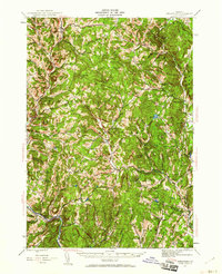
1944 Map of Strafford
USGS Topo · Published 1960About this map
Copper mining and rural hill-country life define this mid-century survey of the Orange and Windsor County line. Industrial activity is centered on the Elizabeth Mine and Copperas Hill near South Strafford, along with the Ely Mine (Inactive) further north. The landscape is dotted with small hilltop schoolhouses such as Swanery Bean Sch and Robinson Sch, reflecting a traditional settlement pattern before the consolidation of rural districts.
Find a feature on this map
93 named features on this map. Tap any name to fly to it.
Don’t see what you’re looking for? This feature index may not catch every label — zoom into the map to look around manually.
Map Details
Editions of this 1944 Strafford Map
5 editions found

Other maps of this area

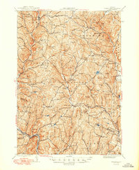
1896 · Strafford
USGS Topo · 1:62,500

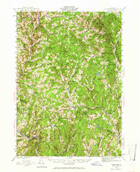
1906 · Hanover
USGS Topo · 1:62,500

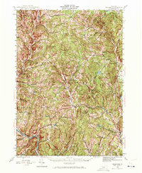
1908 · Hanover
USGS Topo · 1:62,500

1911 · Woodstock
USGS Topo · 1:62,500

1913 · Woodstock
USGS Topo · 1:62,500

1919 · Royalton
USGS Topo · 1:62,500

1922 · Barre
USGS Topo · 1:48,000

1924 · Barre
USGS Topo · 1:62,500

1924 · Randolph
USGS Topo · 1:48,000

1926 · Randolph
USGS Topo · 1:62,500