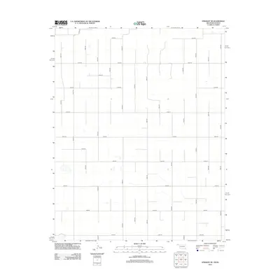
2012 Map of Straight NE
USGS Topo · Published 2012About this map
Texas County, Oklahoma, is defined here by a strict section-line grid of rural roads, captured at a moment of continued agricultural dominance and land organization. This area, situated just south of the Kansas border, relies on a vast network of numbered thoroughfares such as E0010 Rd and N0940 Rd to connect remote farmsteads and fields. Notable regional connectors like Co Hwy-28 and Co Hwy-11 provide the primary transit corridors through this level terrain. The naming convention of roads like Optima Rd suggests local ties to nearby settlements outside the quadrangle boundaries. For the local historian or researcher, this 2012 survey illustrates the precise division of land in the High Plains, where the absence of dense town sites highlights the importance of every established section road and drainage path in an arid landscape.
Find a feature on this map
26 named features on this map. Tap any name to fly to it.
Don’t see what you’re looking for? This feature index may not catch every label — zoom into the map to look around manually.
Map Details
Editions of this 2012 Straight NE Map
This is the sole edition of this map. No revisions or reprints were ever made.
Other maps of this area

1954 · Perryton
USGS Topo · 1:250,000

1955 · Dodge City
USGS Topo · 1:250,000

1958 · Perryton
USGS Topo · 1:250,000

1958 · Dodge City
USGS Topo · 1:250,000

1959 · Dodge City
USGS Topo · 1:250,000

1967 · Straight
USGS Topo · 1:24,000

1967 · Straight NE
USGS Topo · 1:24,000

1967 · Straight SW
USGS Topo · 1:24,000

1967 · Optima
USGS Topo · 1:24,000

1967 · Hooker
USGS Topo · 1:24,000