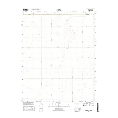
2016 Map of Straight NE
USGS Topo · Published 2016About this map
The Kansas Oklahoma state line defines the northern edge of this high-plains landscape, where the southern boundary of Stevens County and Texas County creates a meeting point of jurisdictional history. The terrain is structured by a rigorous section-line grid, a hallmark of the Public Land Survey System that carved the region into manageable agricultural units. Principal thoroughfares like Co Hwy D and an extensive network of numbered section roads, including Mile 40 Rd and Co Rd 28, facilitate movement across this remote ranching and farming territory. While the map is sparse of named settlements, the density of the road network and the subtle topographic variations indicate a landscape shaped by rural land management and large-scale agricultural operations in the early 21st century.
Find a feature on this map
26 named features on this map. Tap any name to fly to it.
Don’t see what you’re looking for? This feature index may not catch every label — zoom into the map to look around manually.
Map Details
Editions of this 2016 Straight NE Map
This is the sole edition of this map. No revisions or reprints were ever made.
Other maps of this area

1954 · Perryton
USGS Topo · 1:250,000

1955 · Dodge City
USGS Topo · 1:250,000

1958 · Perryton
USGS Topo · 1:250,000

1958 · Dodge City
USGS Topo · 1:250,000

1959 · Dodge City
USGS Topo · 1:250,000

1967 · Straight
USGS Topo · 1:24,000

1967 · Straight NE
USGS Topo · 1:24,000

1967 · Straight SW
USGS Topo · 1:24,000

1967 · Optima
USGS Topo · 1:24,000

1967 · Hooker
USGS Topo · 1:24,000