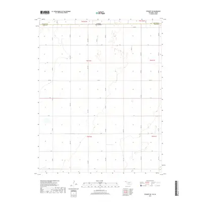
2018 Map of Straight NE
USGS Topo · Published 2018About this map
The Kansas Oklahoma state line defines the northern boundary of this High Plains landscape, where the rectangular grid of the Public Land Survey System dictates the modern transportation network. Located in the northern reaches of the Oklahoma Panhandle, the area is characterized by an expansive system of section-line roads, including Co Rd 28, Mile 38 Rd, and Mile 40 Rd. These routes serve a sparse agricultural region defined by townships such as t6n r16e and t6n r17e.
Find a feature on this map
66 named features on this map. Tap any name to fly to it.
Don’t see what you’re looking for? This feature index may not catch every label — zoom into the map to look around manually.
Map Details
Editions of this 2018 Straight NE Map
This is the sole edition of this map. No revisions or reprints were ever made.
Other maps of this area

1954 · Perryton
USGS Topo · 1:250,000

1955 · Dodge City
USGS Topo · 1:250,000

1958 · Perryton
USGS Topo · 1:250,000

1958 · Dodge City
USGS Topo · 1:250,000

1959 · Dodge City
USGS Topo · 1:250,000

1967 · Straight
USGS Topo · 1:24,000

1967 · Straight NE
USGS Topo · 1:24,000

1967 · Straight SW
USGS Topo · 1:24,000

1967 · Optima
USGS Topo · 1:24,000

1967 · Hooker
USGS Topo · 1:24,000