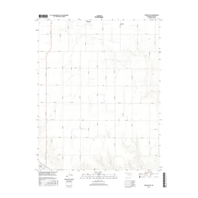
2016 Map of Straight SW
USGS Topo · Published 2016About this map
The small settlements of Straight and Mouser anchor this portion of the Oklahoma Panhandle, situated in a landscape defined by an expansive grid of section roads and the winding path of Pony Cr. These communities are connected by regional arteries like Co Hwy 7 and Co Rd 24, which provide the backbone for transport in this rural stretch of Texas County. To the south, the topography shifts slightly where Goff Creek cuts through the terrain, contrasting with the structured agricultural layout that dominates the northern reaches. The survey captures a moment in the mid-2010s where traditional ranching and farming infrastructure continues to define the spatial organization of the high plains, with dozens of numbered roads like E0110 Rd and M Rd facilitating access to private holdings.
Find a feature on this map
23 named features on this map. Tap any name to fly to it.
Don’t see what you’re looking for? This feature index may not catch every label — zoom into the map to look around manually.
Map Details
Editions of this 2016 Straight SW Map
This is the sole edition of this map. No revisions or reprints were ever made.
Other maps of this area

1954 · Perryton
USGS Topo · 1:250,000

1958 · Perryton
USGS Topo · 1:250,000

1967 · Straight
USGS Topo · 1:24,000

1967 · Straight NE
USGS Topo · 1:24,000

1967 · Straight SW
USGS Topo · 1:24,000

1967 · Optima
USGS Topo · 1:24,000

1968 · Guymon
USGS Topo · 1:24,000

1968 · Guymon NE
USGS Topo · 1:24,000

1973 · Hough NE
USGS Topo · 1:24,000

1973 · Goodwell NE
USGS Topo · 1:24,000