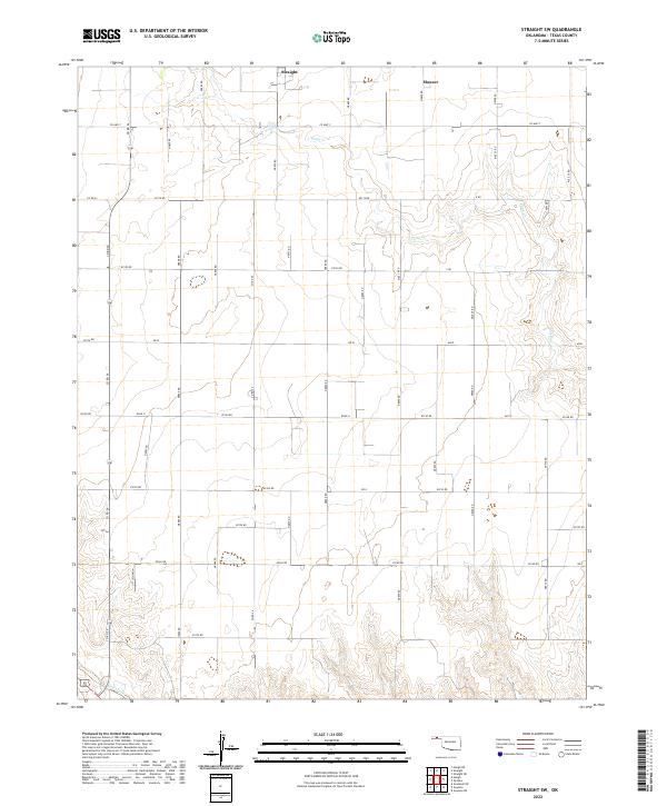
2022 Map of Straight SW
USGS Topo · Published 2022About this map
Straight and Mouser serve as the primary reference points in this section of Texas County, Oklahoma, where the landscape is defined by the rigid grid of the Public Land Survey System. The map reveals a high-plains environment drained by the winding courses of Pony Cr and Goff Creek, which break the otherwise uniform agricultural township structure. The extensive road network, including arterial routes like Co Hwy 7 and a series of numbered section lines such as e0140 RD and Road N, illustrates the methodical settlement and land management of the Oklahoma Panhandle. This detailed survey provides a clear view of how rural infrastructure has been adapted to the drainage patterns of the high plains, showing the intersection of natural watercourses with the precise boundaries of t4n r15e and surrounding townships.
Find a feature on this map
31 named features on this map. Tap any name to fly to it.
Don’t see what you’re looking for? This feature index may not catch every label — zoom into the map to look around manually.
Map Details
Editions of this 2022 Straight SW Map
This is the sole edition of this map. No revisions or reprints were ever made.
Other maps of this area

1954 · Perryton
USGS Topo · 1:250,000

1958 · Perryton
USGS Topo · 1:250,000

1967 · Straight
USGS Topo · 1:24,000

1967 · Straight NE
USGS Topo · 1:24,000

1967 · Straight SW
USGS Topo · 1:24,000

1967 · Optima
USGS Topo · 1:24,000

1968 · Guymon
USGS Topo · 1:24,000

1968 · Guymon NE
USGS Topo · 1:24,000

1973 · Hough NE
USGS Topo · 1:24,000

1973 · Goodwell NE
USGS Topo · 1:24,000