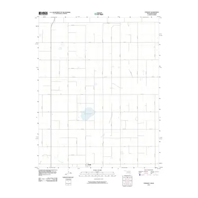
2010 Map of Straight
USGS Topo · Published 2010About this map
The High Plains of the Oklahoma Panhandle are defined here by a geometric grid of section-line roads and the sparse hydrology characteristic of Texas County. The small settlement of Straight sits near the southern edge of the quadrangle, serving as a focal point in a landscape otherwise dominated by expansive agricultural tracts. A notable natural feature is Wild Horse Lake, a large playa that suggests the ephemeral water cycles of the region, where such basins provide critical habitat and collection points for seasonal runoff. In the southwestern corner, Pony Creek cuts through the terrain, offering one of the few breaks in the otherwise flat topography. The road network, including arterial routes like Co Hwy D and Eu085 Rd, illustrates the systematic division of the land into large-scale ranching and farming operations during the early 21st century.
Find a feature on this map
29 named features on this map. Tap any name to fly to it.
Don’t see what you’re looking for? This feature index may not catch every label — zoom into the map to look around manually.
Map Details
Editions of this 2010 Straight Map
This is the sole edition of this map. No revisions or reprints were ever made.
Other maps of this area

1954 · Perryton
USGS Topo · 1:250,000

1955 · Dodge City
USGS Topo · 1:250,000

1958 · Perryton
USGS Topo · 1:250,000

1958 · Dodge City
USGS Topo · 1:250,000

1959 · Dodge City
USGS Topo · 1:250,000

1967 · Straight
USGS Topo · 1:24,000

1967 · Straight NE
USGS Topo · 1:24,000

1967 · Straight SW
USGS Topo · 1:24,000

1967 · Optima
USGS Topo · 1:24,000

1973 · Hough NE
USGS Topo · 1:24,000