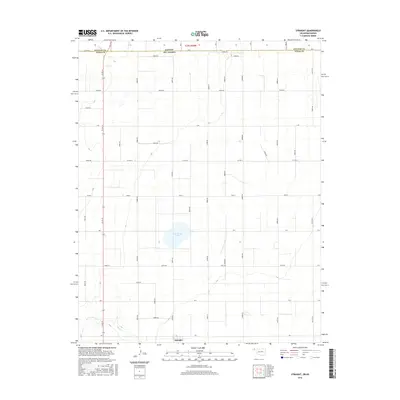
2016 Map of Straight
USGS Topo · Published 2016About this map
The settlement of Straight serves as the focal point for this section of the High Plains, situated just south of the border between Kansas and Oklahoma. This 2016 survey illustrates a landscape defined by an orderly grid of section-line roads, such as Co Rd 24 and Co Hwy D, which facilitate movement through the agricultural territory of Texas County. The topographic data reveals a largely flat expanse punctuated by natural depressions and drainage systems, most notably Wild Horse Lake and the meandering path of Pony Cr in the southwest. These features provide a sharp contrast to the geometric precision of the man-made road network and county boundaries, reflecting the specialized land-use patterns common to the Oklahoma Panhandle.
Find a feature on this map
40 named features on this map. Tap any name to fly to it.
Don’t see what you’re looking for? This feature index may not catch every label — zoom into the map to look around manually.
Map Details
Editions of this 2016 Straight Map
This is the sole edition of this map. No revisions or reprints were ever made.
Other maps of this area

1954 · Perryton
USGS Topo · 1:250,000

1955 · Dodge City
USGS Topo · 1:250,000

1958 · Perryton
USGS Topo · 1:250,000

1958 · Dodge City
USGS Topo · 1:250,000

1959 · Dodge City
USGS Topo · 1:250,000

1967 · Straight
USGS Topo · 1:24,000

1967 · Straight NE
USGS Topo · 1:24,000

1967 · Straight SW
USGS Topo · 1:24,000

1967 · Optima
USGS Topo · 1:24,000

1973 · Hough NE
USGS Topo · 1:24,000