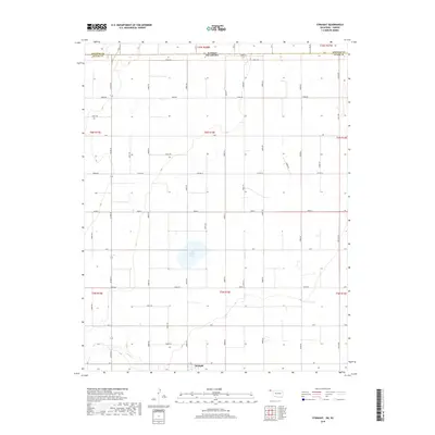
2018 Map of Straight
USGS Topo · Published 2018About this map
The Oklahoma Panhandle's high plains terrain is defined by its rectilinear grid and scattered water features in this 2018 survey. The small community of Straight sits near the southern edge of the map, serving as a focal point for the surrounding agricultural landscape. Dominating the central portion of the sheet is Wild Horse Lake, a significant natural depression that collects surface runoff in this semiarid region. Further south, the drainage of Pony Cr meanders across the sections, offering a rare break in the flat topography. The map illustrates the precision of the Public Land Survey System, with a dense network of county routes such as Co Rd 24 and Co Hwy D following section lines that stretch toward the Kansas-Oklahoma state line at the northern border.
Find a feature on this map
54 named features on this map. Tap any name to fly to it.
Don’t see what you’re looking for? This feature index may not catch every label — zoom into the map to look around manually.
Map Details
Editions of this 2018 Straight Map
This is the sole edition of this map. No revisions or reprints were ever made.
Other maps of this area

1954 · Perryton
USGS Topo · 1:250,000

1955 · Dodge City
USGS Topo · 1:250,000

1958 · Perryton
USGS Topo · 1:250,000

1958 · Dodge City
USGS Topo · 1:250,000

1959 · Dodge City
USGS Topo · 1:250,000

1967 · Straight
USGS Topo · 1:24,000

1967 · Straight NE
USGS Topo · 1:24,000

1967 · Straight SW
USGS Topo · 1:24,000

1967 · Optima
USGS Topo · 1:24,000

1973 · Hough NE
USGS Topo · 1:24,000