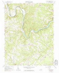
1966 Map of Straightstone
USGS Topo · Published 1985About this map
The Roanoke River snakes through the heart of this landscape, forming the natural boundary between Campbell Co and Pittsylvania Co. This mid-century survey reveals a rural Piedmont region shaped by its watercourses and early transportation networks, notably the Norfolk and Western rail line that follows the river's winding path. Settlement patterns are concentrated at historic crossroads and near small creek valleys, with communities like Straightstone and Level Run serving as local anchors.
Find a feature on this map
39 named features on this map. Tap any name to fly to it.
Don’t see what you’re looking for? This feature index may not catch every label — zoom into the map to look around manually.
Map Details
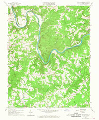
Editions of this 1966 Straightstone Map
2 editions found
Other maps of this area

1892 · Lynchburg
USGS Topo · 1:125,000

1921 · Chatham
USGS Topo · 1:48,000

1923 · Chatham
USGS Topo · 1:62,500

1947 · Roanoke
USGS Topo · 1:250,000

1951 · Altavista
USGS Topo · 1:62,500

1953 · Greensboro
USGS Topo · 1:250,000

1954 · Greensboro
USGS Topo · 1:250,000

1954 · Riceville
USGS Topo · 1:62,500

1956 · Gladys
USGS Topo · 1:62,500

1959 · Roanoke
USGS Topo · 1:250,000