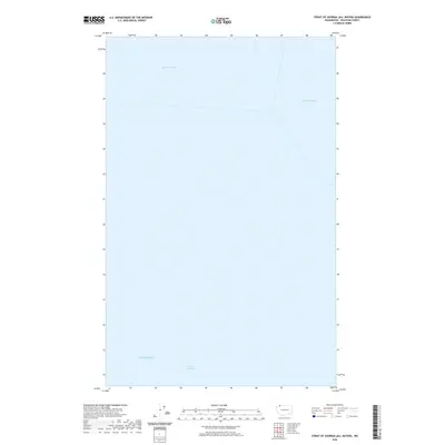
2020 Map of Strait of Georgia (All Water)
USGS Topo · Published 2020About this map
The Salish Sea dominates this hydrographic survey, representing the expansive marine corridor that connects the northwestern Washington coast with British Columbia. This particular sheet captures the watery threshold where the Strait of Georgia meets the northern reaches of the Salish Sea, highlighting the international maritime boundary lines that traverse these cold, deep waters. The map focuses on the liquid geography of Boundary Bay and Semiahmoo Bay, providing a clear record of the coastal indentation before the landmass begins. It serves as a specialized reference for the intricate marine relationships in Whatcom County, emphasizing the open water and navigational paths rather than terrestrial landmarks or human settlements.
Find a feature on this map
4 named features on this map. Tap any name to fly to it.
Don’t see what you’re looking for? This feature index may not catch every label — zoom into the map to look around manually.
Map Details
Editions of this 2020 Strait of Georgia (All Water) Map
This is the sole edition of this map. No revisions or reprints were ever made.
Other maps of this area
1952 · Point Roberts
USGS Topo · 1:24,000

1952 · Birch Point
USGS Topo · 1:24,000

1957 · Victoria
USGS Topo · 1:250,000

1973 · Sucia Island
USGS Topo · 1:24,000

1975 · Bellingham
USGS Topo · 1:100,000
1981 · Roche Harbor
USGS Topo · 1:100,000
1997 · Point Roberts
USGS Topo · 1:24,000
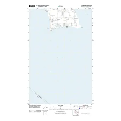
2011 · Point Roberts
USGS Topo · 1:24,000
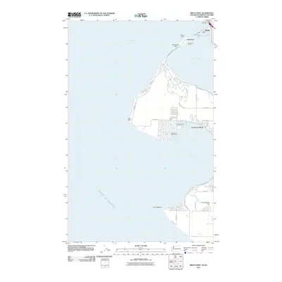
2011 · Birch Point
USGS Topo · 1:24,000
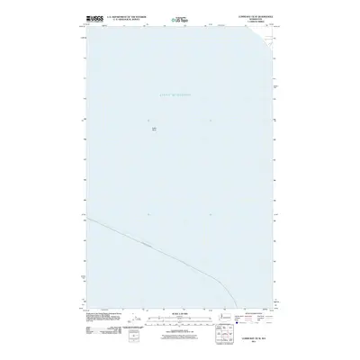
2011 · Lummi Bay OE W
USGS Topo · 1:24,000