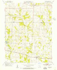
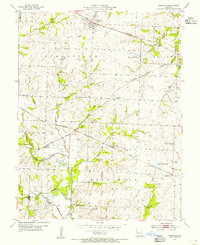
1954 Map of Strasburg
USGS Topo · Published 1955About this map
Strasburg serves as a primary settlement along the southern edge of this mid-century survey, situated where the Missouri Pacific railroad tracks cross the landscape near Crawford Creek. To the north, the village of Lonejack marks a focal point for the surrounding rural area, characterized by its local Lonejack Cem and the nearby Soldiers Cem. The terrain is defined by the drainage basins of the West Branch and East Branch which feed into Big Creek.
Find a feature on this map
20 named features on this map. Tap any name to fly to it.
Don’t see what you’re looking for? This feature index may not catch every label — zoom into the map to look around manually.
Map Details
Editions of this 1954 Strasburg Map
2 editions found
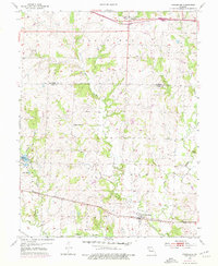
Other maps of this area

1887 · Harrisonville
USGS Topo · 1:125,000
1892 · Harrisonville
USGS Topo · 1:125,000
1894 · Harrisonville
USGS Topo · 1:125,000
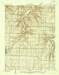
1934 · Woods Chapel
USGS Topo · 1:24,000
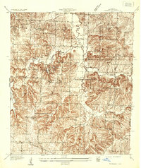
1935 · Tarsney
USGS Topo · 1:24,000

1947 · Lawrence
USGS Topo · 1:250,000

1950 · Lawrence
USGS Topo · 1:250,000
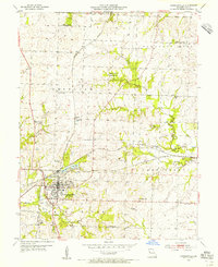
1954 · Harrisonville
USGS Topo · 1:24,000
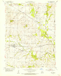
1954 · East Lynne
USGS Topo · 1:24,000
1954 · Kingsville
USGS Topo · 1:24,000