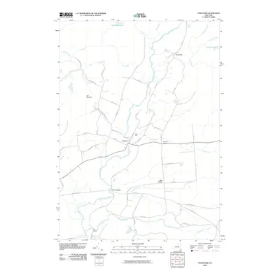
2010 Map of Stratford
USGS Topo · Published 2010About this map
East Canada Creek carves a central path through this Adirondack foothills landscape, where the small settlement of Stratford serves as a local hub. The map reveals a network of rural routes and family-named roads, such as Upper Binghamtown Rd and Perkins Mill Rd, that connect isolated homesteads and small communities like Emmonsburg and Bliss Corner. The terrain is defined by prominent elevations including Oak Mountain and Bear Hill, while numerous water bodies like Stony-Brook Lake and Conglin Lakes dot the northern reaches.
Find a feature on this map
56 named features on this map. Tap any name to fly to it.
Don’t see what you’re looking for? This feature index may not catch every label — zoom into the map to look around manually.
Map Details
Editions of this 2010 Stratford Map
This is the sole edition of this map. No revisions or reprints were ever made.
Other maps of this area

1900 · Little Falls
USGS Topo · 1:62,500

1900 · Wilmurt
USGS Topo · 1:62,500

1901 · Lassellsville
USGS Topo · 1:62,500

1902 · Wilmurt
USGS Topo · 1:62,500

1903 · Lassellsville
USGS Topo · 1:62,500

1903 · Little Falls
USGS Topo · 1:62,500

1904 · Piseco Lake
USGS Topo · 1:62,500

1906 · Piseco Lake
USGS Topo · 1:62,500

1908 · Piseco Lake
USGS Topo · 1:62,500

1939 · Little Falls
USGS Topo · 1:62,500