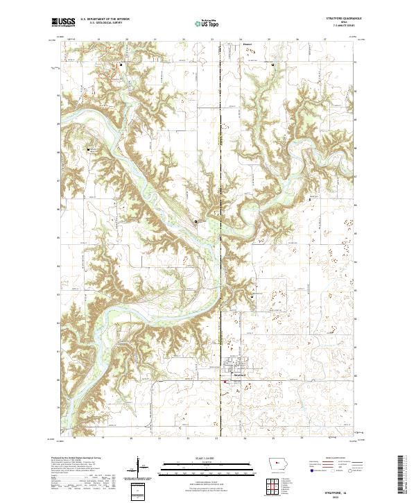
2022 Map of Stratford
USGS Topo · Published 2022About this map
Stratford anchors the southern portion of this landscape, situated along the border of Webster and Hamilton counties. This area is defined by the significant confluence where the Boone River joins the Des Moines River, a waterway that carves a deep valley through the central part of the quadrangle. The terrain is marked by a network of recreational paths including the East River Loop Trl and Clay Hill Trl, highlighting the area's contemporary role as a space for river valley preservation.
Find a feature on this map
77 named features on this map. Tap any name to fly to it.
Don’t see what you’re looking for? This feature index may not catch every label — zoom into the map to look around manually.
Map Details
Editions of this 2022 Stratford Map
This is the sole edition of this map. No revisions or reprints were ever made.
Other maps of this area

1916 · Boone
USGS Topo · 1:62,500

1923 · Lehigh
USGS Topo · 1:62,500

1951 · Ogden
USGS Topo · 1:62,500

1954 · Waterloo
USGS Topo · 1:250,000

1954 · Fort Dodge
USGS Topo · 1:250,000

1955 · Waterloo
USGS Topo · 1:250,000

1957 · Fort Dodge
USGS Topo · 1:250,000

1958 · Fort Dodge
USGS Topo · 1:250,000

1965 · Mackey
USGS Topo · 1:24,000

1965 · Fraser
USGS Topo · 1:24,000