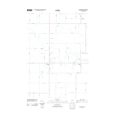
2013 Map of Stratford
USGS Topo · Published 2013About this map
The Big Eau Pleine River winds through central Marathon County, defining the rural geography of this central Wisconsin landscape. The village of Stratford serves as the primary hub, where the intersection of State Highway 97 and State Highway 153 anchors the local community. Nearby, smaller named clusters like Weber and Bradley illustrate the residential and agricultural layout of the early 21st century. The map reveals an intricate network of watercourses, including Connor Mill Cr and its associated 1 Reservoir, alongside Hamann Cr and Fenwood Cr further north. This area reflects a long-standing balance between small-town settlement and the timber and dairy traditions of the region, with many roads such as Fur Food Rd and Webertown Ave hinting at the local family and commercial heritage that has shaped the McMillan and Stratford vicinities.
Find a feature on this map
65 named features on this map. Tap any name to fly to it.
Don’t see what you’re looking for? This feature index may not catch every label — zoom into the map to look around manually.
Map Details
Editions of this 2013 Stratford Map
This is the sole edition of this map. No revisions or reprints were ever made.
Other maps of this area

1902 · Marathon
USGS Topo · 1:125,000

1953 · Marathon
USGS Topo · 1:48,000

1953 · Stratford
USGS Topo · 1:48,000

1953 · Eau Claire
USGS Topo · 1:250,000

1954 · Marshfield
USGS Topo · 1:62,500

1955 · Green Bay
USGS Topo · 1:250,000

1956 · Milladore
USGS Topo · 1:48,000

1958 · Eau Claire
USGS Topo · 1:250,000

1963 · Marathon
USGS Topo · 1:62,500

1963 · Stratford
USGS Topo · 1:62,500