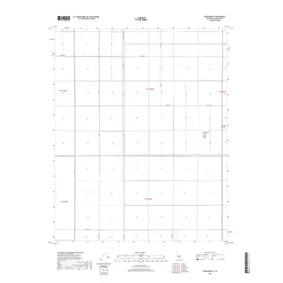
2018 Map of Stratford SE
USGS Topo · Published 2018About this map
The Tulare Lake Bed dominates this portion of the San Joaquin Valley, reflecting a landscape defined by large-scale hydrological management and agricultural grid patterns. In the heart of the Central Valley, the natural courses of the Kings River and the Tule River have been integrated into a rigid system of section lines and irrigation infrastructure. The map illustrates a highly organized rural environment where water is the primary architect of the land, evidenced by features like the Wilbur Ditch. Extensive north-south and east-west thoroughfares, including Orange Ave and Pueblo Ave, delineate the territory into precise rectangular plots, a hallmark of the Public Land Survey System that continues to shape the region's development.
Find a feature on this map
20 named features on this map. Tap any name to fly to it.
Don’t see what you’re looking for? This feature index may not catch every label — zoom into the map to look around manually.
Map Details
Editions of this 2018 Stratford SE Map
This is the sole edition of this map. No revisions or reprints were ever made.
Other maps of this area

1914 · Lost Hills
USGS Topo · 1:125,000

1929 · Guernsey
USGS Topo · 1:31,680

1929 · Stratford
USGS Topo · 1:31,680

1929 · Westhaven
USGS Topo · 1:31,680

1930 · Middle Dome
USGS Topo · 1:31,680

1931 · Harvester
USGS Topo · 1:31,680

1932 · El Rico Ranch
USGS Topo · 1:31,680

1932 · Dudley Ridge
USGS Topo · 1:31,680

1933 · Kettleman City
USGS Topo · 1:31,680

1933 · Chatom Ranch
USGS Topo · 1:31,680