Loading...
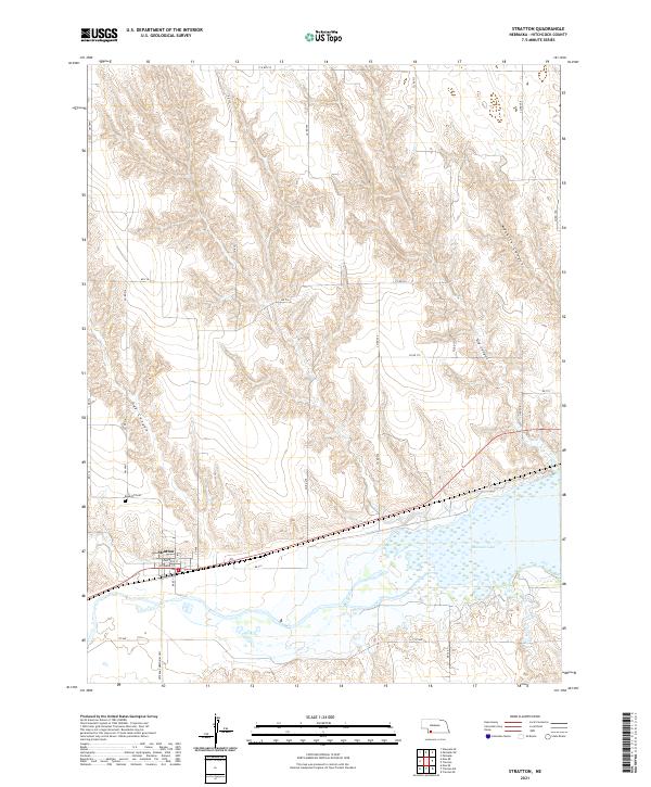
Loading map...2021 Map of Stratton
USGS Topo · Published 2021About this map
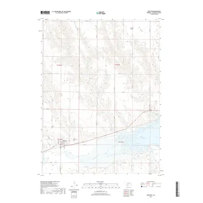
Stratton sits at the nexus of several drainage systems in Hitchcock County, where the Republican River valley landscape is defined by deep incisions like Hay Canyon and Macklin Canyon. The village grid is clearly established, centered on streets such as Hartford St and Bailey St, while the surrounding plateau is segmented into the Public Land Survey System grids of t3n r35w and its neighbors.
Find a feature on this map
31 named features on this map. Tap any name to fly to it.
Don’t see what you’re looking for? This feature index may not catch every label — zoom into the map to look around manually.
Map Details
Date Portrayed2021
Date Published2021
PublisherU.S. Geological Survey
Map TypeTopographic
Scale1:24,000
Physical Dimensions24 x 29 inches
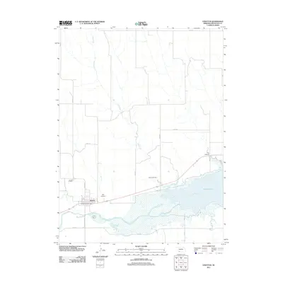
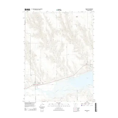
Editions of this 2021 Stratton Map
This is the sole edition of this map. No revisions or reprints were ever made.
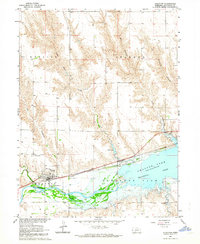
Historical Maps of Stratton Through Time
5 maps found
Featured Locations
Source Details
SourceU.S. Geological Survey
CopyrightPublic Domain