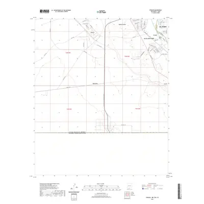
2020 Map of Strauss
USGS Topo · Published 2020About this map
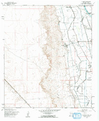
The international border anchors the southern portion of this landscape, where New Mexico and Texas meet the Mexican frontier. This borderlands region is defined by the transition from the arid uplands around Strauss and Mastodon to the fertile Mesilla Valley in the northeast. The infrastructure of modern trade and transit is prominent, evidenced by the Santa Teresa International Beltway and Binational Way, which facilitate movement near the port of entry. Residential development is concentrated in the communities of Sunland Park and Santa Teresa, where street grids like those in Cherry Hill and along Ave Mirador extend toward the state line. In the valley, water management features such as the Crawford Lateral and McDrain support the agricultural character that historically defined this part of El Paso.
Find a feature on this map
49 named features on this map. Tap any name to fly to it.
Don’t see what you’re looking for? This feature index may not catch every label — zoom into the map to look around manually.
Map Details
Editions of this 2020 Strauss Map
This is the sole edition of this map. No revisions or reprints were ever made.
Other maps of this area

1917 · Canutillo
USGS Topo · 1:62,500

1917 · Noria
USGS Topo · 1:62,500

1918 · Noria
USGS Topo · 1:62,500

1919 · Canutillo
USGS Topo · 1:62,500

1953 · El Paso
USGS Topo · 1:250,000
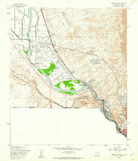
1955 · Smeltertown
USGS Topo · 1:24,000
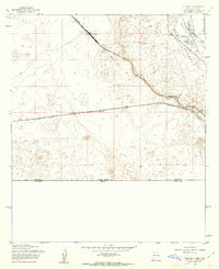
1955 · Strauss
USGS Topo · 1:24,000
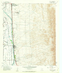
1955 · Canutillo
USGS Topo · 1:24,000
1955 · La Union
USGS Topo · 1:24,000

1959 · El Paso
USGS Topo · 1:250,000