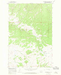
1967 Map of Strawberry Butte
USGS Topo · Published 1969About this map
The Lewis and Clark National Forest defines this high-altitude landscape in Meagher County, where forest management and resource exploration intersected in the late 1960s. The Calf Creek Guard Station serves as a lonely administrative outpost amidst a complex network of drainages including Sheep Creek and the forks of Indian Creek. Evidence of mineral interest is visible in the southern reaches of the quadrangle, where several Prospects are noted near Iron Butte.
Find a feature on this map
27 named features on this map. Tap any name to fly to it.
Don’t see what you’re looking for? This feature index may not catch every label — zoom into the map to look around manually.
Map Details
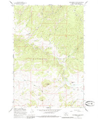
Editions of this 1967 Strawberry Butte Map
2 editions found
Other maps of this area

1886 · Fort Logan
USGS Topo · 1:250,000

1886 · Little Belt Mts.
USGS Topo · 1:250,000

1894 · Little Belt Mts.
USGS Topo · 1:250,000

1897 · Little Belt Mts.
USGS Topo · 1:250,000

1898 · Little Belt Mts.
USGS Topo · 1:250,000

1902 · Little Belt Mts.
USGS Topo · 1:250,000

1948 · White Sulphur Springs
USGS Topo · 1:250,000

1958 · White Sulphur Springs
USGS Topo · 1:250,000

1961 · White Sulphur Springs
USGS Topo · 1:250,000

1965 · White Sulphur Springs
USGS Topo · 1:250,000