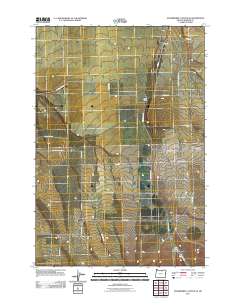
2011 Map of Strawberry Canyon SE
USGS Topo · Published 2011About this map
Alpine and the small settlement of Sand Hollow anchor this 2011 survey of the high desert landscape in Morrow County. The area is defined by a rigid grid of rural roads and family-named thoroughfares such as Doherty Rd, Kilkenny Rd, and Cutsforth Rd, reflecting the deep agricultural roots of the region. This transportation network is punctuated by more evocative landmarks like Bombing Range Rd and Clark-Rice-Beach Rd. In the eastern section, the Sand Hollow Cemetery serves as a significant point of interest for genealogists, while the terrain drops into Milk Canyon in the southeast. The map illustrates a modern moment in a long-standing ranching and farming community, where ephemeral watercourses like those in Sand Hollow continue to dictate the placement of local homesteads and access routes.
Find a feature on this map
24 named features on this map. Tap any name to fly to it.
Don’t see what you’re looking for? This feature index may not catch every label — zoom into the map to look around manually.
Map Details
Editions of this 2011 Strawberry Canyon SE Map
This is the sole edition of this map. No revisions or reprints were ever made.
Other maps of this area

1906 · Blalock Island
USGS Topo · 1:125,000

1908 · Blalock Island
USGS Topo · 1:125,000

1908 · Umatilla
USGS Topo · 1:125,000

1953 · Pendleton
USGS Topo · 1:250,000

1956 · Pendleton
USGS Topo · 1:250,000

1968 · Service Buttes NW
USGS Topo · 1:24,000

1968 · Swaggart Buttes
USGS Topo · 1:24,000

1968 · Lexington
USGS Topo · 1:24,000

1968 · Gleason Butte
USGS Topo · 1:24,000

1968 · Butter Creek Junction
USGS Topo · 1:24,000