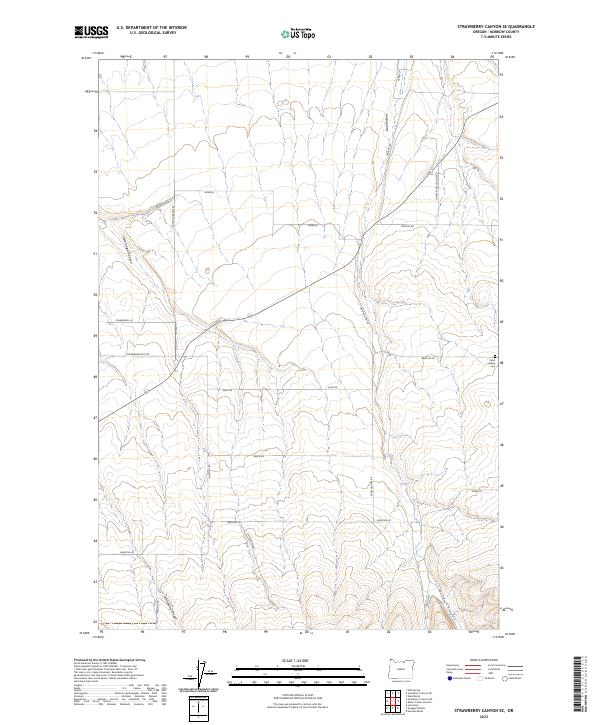
2023 Map of Strawberry Canyon SE
USGS Topo · Published 2023About this map
Sand Hollow and Strawberry Canyon define the landscape of this portion of Morrow County, where the high plateau is incised by a series of significant drainages. The area is marked by a grid of rural lanes and family-named roads, including Grieb Ln and Doherty Rd, which provide access to the plateau's agricultural lands. A key landmark for local history and genealogy is the Sand Hollow Cem, situated near the head of its namesake drainage. The presence of Bombing Range Rd running north-south through the western sections hints at the region's specialized land use and military proximity. To the south, the terrain becomes more complex as Strawberry East Rd and Strawberry Ln navigate the approaches to the deeper canyons. The map also records several other topographical features like Little Juniper Canyon and Milk Canyon, illustrating the hydrological network that shapes this rural Oregon territory.
Find a feature on this map
28 named features on this map. Tap any name to fly to it.
Don’t see what you’re looking for? This feature index may not catch every label — zoom into the map to look around manually.
Map Details
Editions of this 2023 Strawberry Canyon SE Map
This is the sole edition of this map. No revisions or reprints were ever made.
Other maps of this area

1906 · Blalock Island
USGS Topo · 1:125,000

1908 · Blalock Island
USGS Topo · 1:125,000

1908 · Umatilla
USGS Topo · 1:125,000

1953 · Pendleton
USGS Topo · 1:250,000

1956 · Pendleton
USGS Topo · 1:250,000

1968 · Service Buttes NW
USGS Topo · 1:24,000

1968 · Swaggart Buttes
USGS Topo · 1:24,000

1968 · Lexington
USGS Topo · 1:24,000

1968 · Gleason Butte
USGS Topo · 1:24,000

1968 · Butter Creek Junction
USGS Topo · 1:24,000