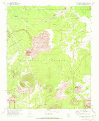
1969 Map of Strawberry Crater
USGS Topo · Published 1972About this map
The cinder cone of Strawberry Crater and its surrounding lava fields dominate this volcanic landscape within the Coconino National Forest. Surveyed in the late 1960s, the map reveals a rugged terrain defined by high plateaus like Woodhouse Mesa and Deadman Mesa, punctuated by deep drainage systems such as Deadman Wash and Kana a Wash. Archeological significance is noted throughout the area, with numerous ruins marked along the north-facing slopes and mesa edges, suggesting a long history of human presence in this arid environment.
Find a feature on this map
19 named features on this map. Tap any name to fly to it.
Don’t see what you’re looking for? This feature index may not catch every label — zoom into the map to look around manually.
Map Details
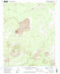
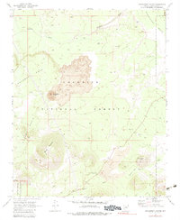
Editions of this 1969 Strawberry Crater Map
3 editions found
Other maps of this area

1886 · San Francisco Mtns
USGS Topo · 1:250,000

1891 · San Francisco Mtns
USGS Topo · 1:250,000

1894 · San Francisco Mtns
USGS Topo · 1:250,000

1899 · San Francisco Mtns
USGS Topo · 1:250,000

1908 · Flagstaff
USGS Topo · 1:125,000

1912 · Flagstaff
USGS Topo · 1:125,000

1947 · Flagstaff
USGS Topo · 1:250,000

1954 · Flagstaff
USGS Topo · 1:250,000

1958 · Flagstaff
USGS Topo · 1:250,000

1960 · Flagstaff
USGS Topo · 1:250,000