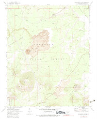
1969 Map of Strawberry Crater
USGS Topo · Published 1983About this map
Strawberry Crater and the surrounding volcanic landscape dominate this portion of the Coconino National Forest as it was documented in the late 1960s. The geography is defined by extensive Lava flows and prominent geological formations, including Black Mountain and Black Bottom Crater. This survey captures the transition between the high mesa country of Deadman Mesa and the lower drainage systems of Deadman Wash and Kana'a Wash. Human presence is marked primarily by infrastructure for recreation and resource management, such as the Painted Desert Vista Picnic Area and a network of secondary routes including a Jeep Trail. A small section of the Sunset Crater National Monument is visible in the southwest corner, while archaeological remnants are scattered across the northern mesas, indicated by numerous ruins labels throughout the township lines.
Find a feature on this map
14 named features on this map. Tap any name to fly to it.
Don’t see what you’re looking for? This feature index may not catch every label — zoom into the map to look around manually.
Map Details
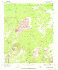
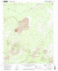
Editions of this 1969 Strawberry Crater Map
3 editions found
Other maps of this area

1886 · San Francisco Mtns
USGS Topo · 1:250,000

1891 · San Francisco Mtns
USGS Topo · 1:250,000

1894 · San Francisco Mtns
USGS Topo · 1:250,000

1899 · San Francisco Mtns
USGS Topo · 1:250,000

1908 · Flagstaff
USGS Topo · 1:125,000

1912 · Flagstaff
USGS Topo · 1:125,000

1947 · Flagstaff
USGS Topo · 1:250,000

1954 · Flagstaff
USGS Topo · 1:250,000

1958 · Flagstaff
USGS Topo · 1:250,000

1960 · Flagstaff
USGS Topo · 1:250,000