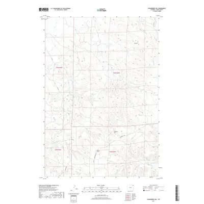
2017 Map of Strawberry Hill
USGS Topo · Published 2017About this map
Strawberry Hill dominates the high ground of this northeastern Wyoming landscape, where the drainage systems of Lindsey Cr and Elkhorn Cr carve deep patterns into the terrain. The topography reveals a complex network of ridges and basins, centered on the high pass of Goldie Divide. In this portion of Crook County, the infrastructure is defined by rural corridors such as Strawberry Hill Rd and Co Rd 32, which navigate around prominent landforms like Big Draw. Water management in this arid environment is evidenced by Foster Reservoir, while smaller seasonal flows like Bronco John Cr and Dry Doe Cr feed the larger creek systems. The map illustrates the persistent intersection of natural geographic features and the section lines of the Public Land Survey System, highlighting the spatial organization of the western rangeland.
Find a feature on this map
19 named features on this map. Tap any name to fly to it.
Don’t see what you’re looking for? This feature index may not catch every label — zoom into the map to look around manually.
Map Details
Editions of this 2017 Strawberry Hill Map
This is the sole edition of this map. No revisions or reprints were ever made.
Other maps of this area

1905 · Devils Tower
USGS Topo · 1:125,000

1954 · Strawberry Hill
USGS Topo · 1:24,000

1954 · Storm Hill
USGS Topo · 1:24,000

1954 · Gillette
USGS Topo · 1:250,000

1955 · Devils Tower
USGS Topo · 1:62,500

1955 · Gillette
USGS Topo · 1:250,000

1957 · Oshoto
USGS Topo · 1:62,500

1957 · Seely
USGS Topo · 1:62,500

1957 · Cedar Ridge
USGS Topo · 1:62,500

1958 · Gillette
USGS Topo · 1:250,000