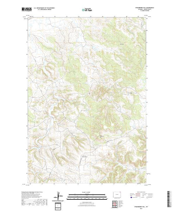
2021 Map of Strawberry Hill
USGS Topo · Published 2021About this map
Stawberry Hill rises as the central prominence of this Crook County landscape, flanked by the elevated Goldie Divide to the southwest. The terrain is defined by a dense network of intermittent drainages and deep coulees, including the Big Draw in the northeast and Dry Doe Cr further east. This modern survey illustrates a high-plains topography where water management is crucial for land use, evidenced by the solitary Foster Reservoir situated along the upper reaches of an unnamed drainage.
Find a feature on this map
19 named features on this map. Tap any name to fly to it.
Don’t see what you’re looking for? This feature index may not catch every label — zoom into the map to look around manually.
Map Details
Editions of this 2021 Strawberry Hill Map
This is the sole edition of this map. No revisions or reprints were ever made.
Other maps of this area

1905 · Devils Tower
USGS Topo · 1:125,000

1954 · Strawberry Hill
USGS Topo · 1:24,000

1954 · Storm Hill
USGS Topo · 1:24,000

1954 · Gillette
USGS Topo · 1:250,000

1955 · Devils Tower
USGS Topo · 1:62,500

1955 · Gillette
USGS Topo · 1:250,000

1957 · Oshoto
USGS Topo · 1:62,500

1957 · Seely
USGS Topo · 1:62,500

1957 · Cedar Ridge
USGS Topo · 1:62,500

1958 · Gillette
USGS Topo · 1:250,000