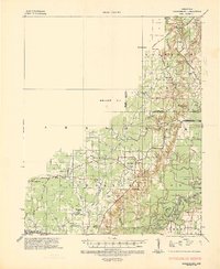
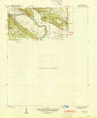
1935 Map of Strawberry
USGS Topo · Published 1936About this map
The Strawberry River and its numerous tributaries, including Dry Creek, define this 1930s landscape where the Ozark foothills meet the alluvial plains of the Black River. This transition is marked by the Entire escarpment contoured, a distinct topographic break separating the upland ridges from the lowland bottomlands of Independence County and Lawrence County. The map documents a rural society organized around crossroads communities and watercourses, with a dense network of country schools such as Oak Ridge Sch and Rose Bud Sch serving family farms.
Find a feature on this map
54 named features on this map. Tap any name to fly to it.
Don’t see what you’re looking for? This feature index may not catch every label — zoom into the map to look around manually.
Map Details
Editions of this 1935 Strawberry Map
This is the sole edition of this map. No revisions or reprints were ever made.
Other maps of this area

1890 · Batesville
USGS Topo · 1:125,000

1891 · Batesville
USGS Topo · 1:125,000
1932 · Strawberry
USGS Topo · 1:62,500
1934 · Powhatan
USGS Topo · 1:62,500
1935 · Powhatan
USGS Topo · 1:62,500
1935 · Alicia
USGS Topo · 1:62,500
1935 · Newport
USGS Topo · 1:62,500
1935 · Tuckerman
USGS Topo · 1:62,500
1941 · Strawberry
USGS Topo · 1:62,500
1942 · Salado
USGS Topo · 1:31,680