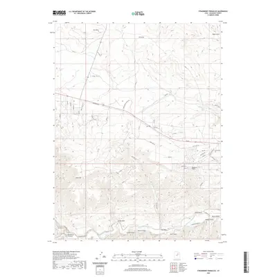
2020 Map of Strawberry Pinnacles
USGS Topo · Published 2020About this map
Strawberry River carves a deep valley through the southern portion of this Duchesne County landscape, creating a dramatic corridor flanked by steep canyons and prominent geological formations like the Strawberry Pinnacles. The topography is defined by a series of north-south drainage systems, including Sams Canyon, Hoodoo Canyon, and Bowen Canyon, which feed into the river from the high plateaus. To the north, the terrain transitions into more gradual slopes marked by Cedar Mtn and open draws such as Sink Draw and Sand Wash.
Find a feature on this map
51 named features on this map. Tap any name to fly to it.
Don’t see what you’re looking for? This feature index may not catch every label — zoom into the map to look around manually.
Map Details
Editions of this 2020 Strawberry Pinnacles Map
This is the sole edition of this map. No revisions or reprints were ever made.
Other maps of this area

1885 · Uinta
USGS Topo · 1:250,000

1954 · Salt Lake City
USGS Topo · 1:250,000

1958 · Salt Lake City
USGS Topo · 1:250,000

1960 · Salt Lake City
USGS Topo · 1:250,000

1962 · Strawberry Pinnacles
USGS Topo · 1:24,000
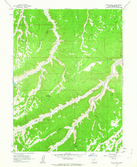
1962 · Buck Knoll
USGS Topo · 1:24,000
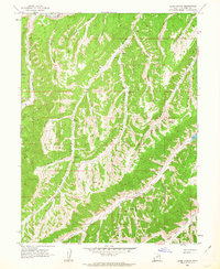
1962 · Sams Canyon
USGS Topo · 1:24,000

1962 · Blacktail Mtn
USGS Topo · 1:24,000

1962 · Fruitland
USGS Topo · 1:24,000

1962 · Tabiona
USGS Topo · 1:24,000