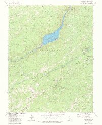
1979 Map of Strawberry
USGS Topo · Published 1984About this map
The Stanislaus National Forest landscape is defined here by the deep canyons of the Middle Fork Stanislaus River and the South Fork Stanislaus River. This 1970s era documentation highlights a transition in mountain land use, showing the industrial remains of the Pickering Lumber Corp (Abandoned) alongside the hydroelectric infrastructure of the Spring Gap Powerhouse and Spillway Powerhouse. The presence of the Tuolumne State Game Refuge suggests a managed wilderness where resource extraction once reigned.
Find a feature on this map
60 named features on this map. Tap any name to fly to it.
Don’t see what you’re looking for? This feature index may not catch every label — zoom into the map to look around manually.
Map Details
Editions of this 1979 Strawberry Map
2 editions found
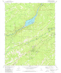
Other maps of this area

1891 · Big Trees
USGS Topo · 1:125,000

1894 · Big Trees
USGS Topo · 1:125,000

1896 · Dardanelles
USGS Topo · 1:125,000

1897 · Big Trees
USGS Topo · 1:125,000

1898 · Dardanelles
USGS Topo · 1:125,000

1901 · Big Trees
USGS Topo · 1:125,000

1947 · Sacramento
USGS Topo · 1:250,000

1948 · Walker Lake
USGS Topo · 1:250,000

1948 · Sacramento
USGS Topo · 1:250,000

1956 · Sacramento
USGS Topo · 1:250,000