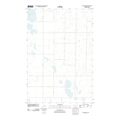
2011 Map of Streeter NW
USGS Topo · Published 2011About this map
Lake George dominates the northwestern corner of this prairie landscape, serving as the primary landmark in a region characterized by numerous small, scattered wetlands and glacial depressions. This portion of Stutsman County is defined by a rigorous section-line road grid, including routes like 53rd St SE and 48th Ave SE, which carve the terrain into neat agricultural blocks. The network of seasonal water bodies across the quadrangle reflects the area's location within the Missouri Coteau, where drainage is primarily internal. Though largely open and rural, the precise placement of roads such as 49th Ave SE and 52nd St SE provides a clear framework for tracing property boundaries and land use patterns as they existed in the early 21st century.
Find a feature on this map
17 named features on this map. Tap any name to fly to it.
Don’t see what you’re looking for? This feature index may not catch every label — zoom into the map to look around manually.
Map Details
Editions of this 2011 Streeter NW Map
This is the sole edition of this map. No revisions or reprints were ever made.
Other maps of this area

1952 · Tappen SE
USGS Topo · 1:24,000

1953 · Jamestown
USGS Topo · 1:250,000

1955 · Medina SW
USGS Topo · 1:24,000

1955 · Medina SE
USGS Topo · 1:24,000

1956 · Jamestown
USGS Topo · 1:250,000

1975 · Medina SW
USGS Topo · 1:24,000

1983 · Streeter SW
USGS Topo · 1:24,000

1983 · Streeter
USGS Topo · 1:24,000

1983 · Alkaline Lake
USGS Topo · 1:24,000

1983 · Streeter NW
USGS Topo · 1:24,000