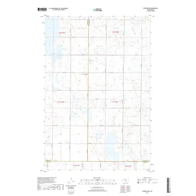
2017 Map of Streeter NW
USGS Topo · Published 2017About this map
The intersection of Kidder, Stutsman, and Logan counties defines this quiet stretch of the North Dakota prairie. The landscape is characterized by its glacial potholes and small wetlands, with Lake George serving as a primary hydrologic feature in the northwest. Local history is anchored at the Evangelical-Lutheran Split Cem, a significant site for genealogists tracing early regional settlement. The map reveals a strictly regulated section-line road system including 47th St SE and 48th St SE, which facilitate access across the expansive township boundaries. This 2017 survey illustrates the persistence of small-scale rural infrastructure, where Co Hwy 37 remains a critical local artery connecting dispersed farmsteads across the county lines.
Find a feature on this map
22 named features on this map. Tap any name to fly to it.
Don’t see what you’re looking for? This feature index may not catch every label — zoom into the map to look around manually.
Map Details
Editions of this 2017 Streeter NW Map
This is the sole edition of this map. No revisions or reprints were ever made.
Other maps of this area

1952 · Tappen SE
USGS Topo · 1:24,000

1953 · Jamestown
USGS Topo · 1:250,000

1955 · Medina SW
USGS Topo · 1:24,000

1955 · Medina SE
USGS Topo · 1:24,000

1956 · Jamestown
USGS Topo · 1:250,000

1975 · Medina SW
USGS Topo · 1:24,000

1983 · Streeter SW
USGS Topo · 1:24,000

1983 · Streeter
USGS Topo · 1:24,000

1983 · Alkaline Lake
USGS Topo · 1:24,000

1983 · Streeter NW
USGS Topo · 1:24,000