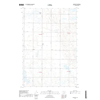
2018 Map of Streeter SW
USGS Topo · Published 2018About this map
Scattered prairie cemeteries and remote airstrips define this high-plains landscape in southern Logan County. The area is characterized by a high density of small, denominational burial grounds reflecting the early German-Russian settlement patterns of the region, including the Ebenfeld Reformed Cem, the Seventh-day Adventist Cem, and Hope Cem. These sites, along with the isolated Lone Grave Cem, serve as primary genealogical landmarks in a township otherwise defined by section-line roads and numerous small wetlands. Aviation in this open country is represented by the Gienger/Box Bar Ranch Airport, which serves the agricultural needs of the local ranching community. The grid of section roads, including 55th St SE and 60th St SE, provides the framework for this rural landscape.
Find a feature on this map
19 named features on this map. Tap any name to fly to it.
Don’t see what you’re looking for? This feature index may not catch every label — zoom into the map to look around manually.
Map Details
Editions of this 2018 Streeter SW Map
This is the sole edition of this map. No revisions or reprints were ever made.
Other maps of this area

1953 · Jamestown
USGS Topo · 1:250,000

1956 · Jamestown
USGS Topo · 1:250,000

1982 · Wishek NE
USGS Topo · 1:24,000

1982 · Lehr NW
USGS Topo · 1:24,000

1982 · Lehr NE
USGS Topo · 1:24,000

1983 · Streeter SW
USGS Topo · 1:24,000

1983 · Streeter
USGS Topo · 1:24,000

1983 · Alkaline Lake
USGS Topo · 1:24,000

1983 · Streeter NW
USGS Topo · 1:24,000

1983 · Streeter SE
USGS Topo · 1:24,000