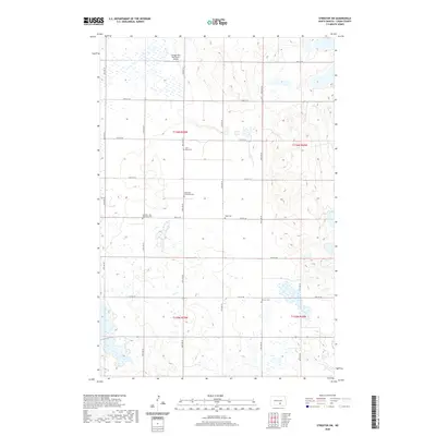
2020 Map of Streeter SW
USGS Topo · Published 2020About this map
Scattered cemeteries define the rural social landscape of this Logan County quadrangle, reflecting the early 20th-century settlement patterns of the North Dakota prairies. Church and community burial grounds such as Lone Grave Cem, Ebenfeld Reformed Cem, and the Seventh-Day Adventist Cem are positioned along the section lines, often far from any contemporary town center. This placement illustrates how the region was organized by the Public Land Survey System, with roads like 57th St SE and 46th Ave SE following a strict cardinal grid across the pothole-dotted terrain. A private airstrip, the Gienger/Box Bar Ranch Airport, provides a modern contrast to these older landmarks, indicating the continued importance of long-distance connectivity in this remote agricultural corridor. The map preserves the specific locations of pioneer heritage sites like Hope Cem and Perman Cem, which remain as physical markers of family legacies within the vast, open sections of T136N and T135N.
Find a feature on this map
23 named features on this map. Tap any name to fly to it.
Don’t see what you’re looking for? This feature index may not catch every label — zoom into the map to look around manually.
Map Details
Editions of this 2020 Streeter SW Map
This is the sole edition of this map. No revisions or reprints were ever made.
Other maps of this area

1953 · Jamestown
USGS Topo · 1:250,000

1956 · Jamestown
USGS Topo · 1:250,000

1982 · Wishek NE
USGS Topo · 1:24,000

1982 · Lehr NW
USGS Topo · 1:24,000

1982 · Lehr NE
USGS Topo · 1:24,000

1983 · Streeter SW
USGS Topo · 1:24,000

1983 · Streeter
USGS Topo · 1:24,000

1983 · Alkaline Lake
USGS Topo · 1:24,000

1983 · Streeter NW
USGS Topo · 1:24,000

1983 · Streeter SE
USGS Topo · 1:24,000