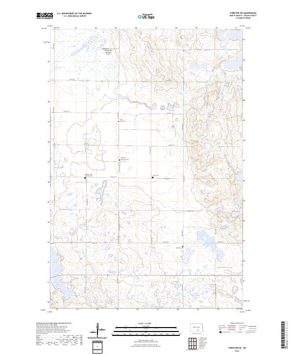
2024 Map of Streeter SW
USGS Topo · Published 2024About this map
Logan County’s glacial prairie landscape is defined by its extensive wetlands and scattered family landmarks, as documented in this 2024 USGS survey. The region is notable for its numerous small rural burial grounds, including the Lone Grave Cem, Ebenfeld Reformed Cem, and the Seventh - Day Adventist Cem, reflecting the diverse denominational history of the early homesteading families. Much of the southern and eastern portions of the map are dedicated to conservation within the Logan County Waterfowl Production Area, where the undulating terrain creates a network of seasonal ponds and lakes. Transportation follows the strict section-line grid of the Public Land Survey System, with routes like 46th Ave SE providing access to local ranching operations such as the Gienger/Box Bar Ranch Airport.
Find a feature on this map
24 named features on this map. Tap any name to fly to it.
Don’t see what you’re looking for? This feature index may not catch every label — zoom into the map to look around manually.
Map Details
Editions of this 2024 Streeter SW Map
This is the sole edition of this map. No revisions or reprints were ever made.
Other maps of this area

1953 · Jamestown
USGS Topo · 1:250,000

1956 · Jamestown
USGS Topo · 1:250,000

1982 · Wishek NE
USGS Topo · 1:24,000

1982 · Lehr NW
USGS Topo · 1:24,000

1982 · Lehr NE
USGS Topo · 1:24,000

1983 · Streeter SW
USGS Topo · 1:24,000

1983 · Streeter
USGS Topo · 1:24,000

1983 · Alkaline Lake
USGS Topo · 1:24,000

1983 · Streeter NW
USGS Topo · 1:24,000

1983 · Streeter SE
USGS Topo · 1:24,000