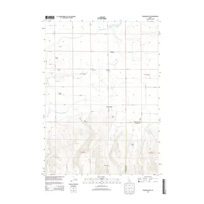
2013 Map of Stricker Butte
USGS Topo · Published 2013About this map
Rock Creek flows through a landscape defined by an intricate network of irrigation and dairy farming in this region south of the Snake River. The importance of early water management is evident in the paths of the Low-Line Canal, High Line North Canal, and the Twin Falls Main Canal, which support agricultural operations like the Sudik Dairy and Magic Milk Dairy. Local history is anchored by the Stricker Cabin and the nearby Rock Creek Cemeteries, serving as reminders of the area's early settlement era. The terrain transitions from the level expanses of Pleasant Valley to the more varied topography of Stricker Butte and Cedar Hill. Deep drainages such as Niles Gulch, Dry Gulch, and Antelope Valley provide a stark contrast to the gridded system of roads, including Indian Spring Rd and Cherry Spring Rd, that facilitate movement through this corner of the Idaho high desert.
Find a feature on this map
40 named features on this map. Tap any name to fly to it.
Don’t see what you’re looking for? This feature index may not catch every label — zoom into the map to look around manually.
Map Details
Editions of this 2013 Stricker Butte Map
This is the sole edition of this map. No revisions or reprints were ever made.
Other maps of this area

1955 · Twin Falls
USGS Topo · 1:250,000

1958 · Twin Falls
USGS Topo · 1:250,000

1964 · Kimberly
USGS Topo · 1:24,000

1964 · Twin Falls
USGS Topo · 1:24,000

1964 · Eden
USGS Topo · 1:24,000

1965 · Rams Horn Ridge
USGS Topo · 1:24,000

1965 · Stricker Butte
USGS Topo · 1:24,000

1965 · Grand View Peak
USGS Topo · 1:24,000

1965 · Hub Butte
USGS Topo · 1:24,000

1965 · Murtaugh
USGS Topo · 1:24,000