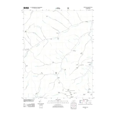
2011 Map of Stricklett
USGS Topo · Published 2011About this map
Stricklett and the surrounding drainage basins of Kinniconick Creek define the geography of this Lewis County landscape. The settlement patterns follow the winding creek valleys, with communities like Petersville, Crum, and Upper Indian Creek established at key intersections of water and topography. Numerous family-named hollows, such as McCless Hollow, Bill Brown Hollow, and Henry Short Hollow, indicate a deeply rooted local history and the long-standing significance of family landholdings in the region.
Find a feature on this map
94 named features on this map. Tap any name to fly to it.
Don’t see what you’re looking for? This feature index may not catch every label — zoom into the map to look around manually.
Map Details
Editions of this 2011 Stricklett Map
This is the sole edition of this map. No revisions or reprints were ever made.
Other maps of this area

1919 · Vanceburg
USGS Topo · 1:62,500

1929 · Springdale
USGS Topo · 1:48,000

1935 · Springdale
USGS Topo · 1:62,500

1949 · Vanceburg
USGS Topo · 1:62,500

1949 · Vanceburg
USGS Topo · 1:24,000

1949 · Charters
USGS Topo · 1:24,000

1950 · Charters
USGS Topo · 1:24,000

1950 · Head Of Grassy
USGS Topo · 1:24,000
1951 · Vanceburg
USGS Topo · 1:24,000

1951 · Soldier
USGS Topo · 1:24,000