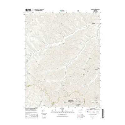
2016 Map of Stricklett
USGS Topo · Published 2016About this map
Kinniconick Cr winds through a landscape of sharp ridges and deep hollows in this corner of Northeast Kentucky, where the Daniel Boone National Forest meets the borders of Lewis, Fleming, and Rowan counties. Small settlements like Stricklett, Petersville, and Crum occupy the rare flat ground at valley junctions, connected by a network of rural routes such as Black Lick Br Rd and Paint Lick Br Rd. The naming conventions found in the terrain, from Silver Lick Hollow to Oil Well Hollow, point to a history of natural resource extraction and early frontier hunting grounds.
Find a feature on this map
95 named features on this map. Tap any name to fly to it.
Don’t see what you’re looking for? This feature index may not catch every label — zoom into the map to look around manually.
Map Details
Editions of this 2016 Stricklett Map
This is the sole edition of this map. No revisions or reprints were ever made.
Other maps of this area

1919 · Vanceburg
USGS Topo · 1:62,500

1929 · Springdale
USGS Topo · 1:48,000

1935 · Springdale
USGS Topo · 1:62,500

1949 · Vanceburg
USGS Topo · 1:62,500

1949 · Vanceburg
USGS Topo · 1:24,000

1949 · Charters
USGS Topo · 1:24,000

1950 · Charters
USGS Topo · 1:24,000

1950 · Head Of Grassy
USGS Topo · 1:24,000
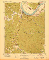
1951 · Vanceburg
USGS Topo · 1:24,000

1951 · Soldier
USGS Topo · 1:24,000