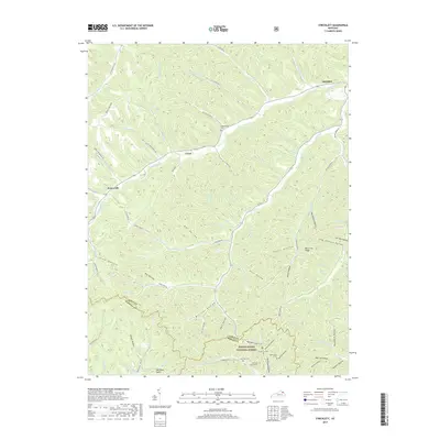
2019 Map of Stricklett
USGS Topo · Published 2019About this map
Kinniconick Cr meanders through this portion of Lewis County, anchoring a landscape defined by deep hollows and narrow ridges. The small settlements of Stricklett, Crum, and Petersville are situated along the primary valley floors, connected by a network of winding roads like KY 377 and Paint Lick Branch Rd. To the south, the terrain becomes increasingly complex as it enters the Daniel Boone National Forest, where features like The Black Stairs and Buck Lick Ridge overlook the surrounding timberland.
Find a feature on this map
92 named features on this map. Tap any name to fly to it.
Don’t see what you’re looking for? This feature index may not catch every label — zoom into the map to look around manually.
Map Details
Editions of this 2019 Stricklett Map
This is the sole edition of this map. No revisions or reprints were ever made.
Other maps of this area

1919 · Vanceburg
USGS Topo · 1:62,500

1929 · Springdale
USGS Topo · 1:48,000

1935 · Springdale
USGS Topo · 1:62,500

1949 · Vanceburg
USGS Topo · 1:62,500

1949 · Vanceburg
USGS Topo · 1:24,000

1949 · Charters
USGS Topo · 1:24,000

1950 · Charters
USGS Topo · 1:24,000

1950 · Head Of Grassy
USGS Topo · 1:24,000
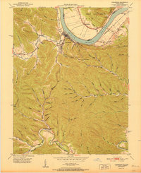
1951 · Vanceburg
USGS Topo · 1:24,000

1951 · Soldier
USGS Topo · 1:24,000