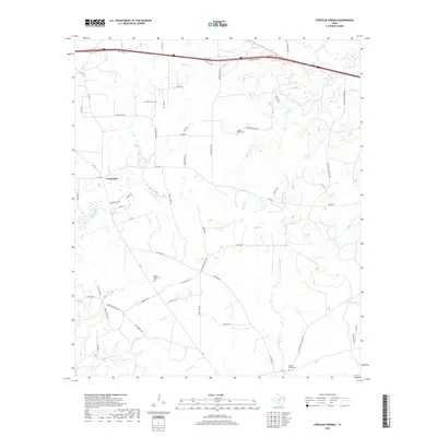
2019 Map of Stricklin Springs
USGS Topo · Published 2019About this map
Elysian Fields Cem and several family or community burial grounds anchor the landscape of Harrison County in this contemporary study of the Stricklin Springs region. The terrain is defined by a dense network of tributaries including Quapaw Cr and Butler Cr that feed into larger systems like the W Fork Socagee Cr. Small-scale settlement patterns are visible at Crossroads, where local routes like FM 2199 and FM 2625 intersect, facilitating movement between the rural homesteads and agricultural tracts that characterize the area. Along the northern edge, modern infrastructure is represented by the I-20 Svc Rd, contrasting with the more traditional network of named paths such as Strickland Springs Rd and Old Town Rd. This map provides a detailed record of the intersections between historical family landmarks like Granbury Cem and Mount Prospect Cem and the modern transportation corridors of East Texas.
Find a feature on this map
61 named features on this map. Tap any name to fly to it.
Don’t see what you’re looking for? This feature index may not catch every label — zoom into the map to look around manually.
Map Details
Editions of this 2019 Stricklin Springs Map
This is the sole edition of this map. No revisions or reprints were ever made.
Other maps of this area

1943 · Waskom
USGS Topo · 1:62,500

1944 · Caddo Lake
USGS Topo · 1:62,500

1945 · Waskom
USGS Topo · 1:62,500

1946 · Caddo Lake
USGS Topo · 1:62,500

1956 · Tyler
USGS Topo · 1:250,000

1958 · Darco
USGS Topo · 1:62,500

1962 · Stricklin Springs
USGS Topo · 1:24,000

1962 · De Berry
USGS Topo · 1:24,000
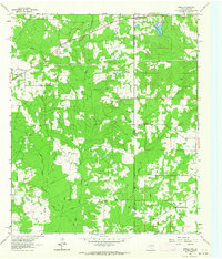
1962 · Panola
USGS Topo · 1:24,000
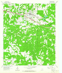
1962 · Waskom
USGS Topo · 1:24,000