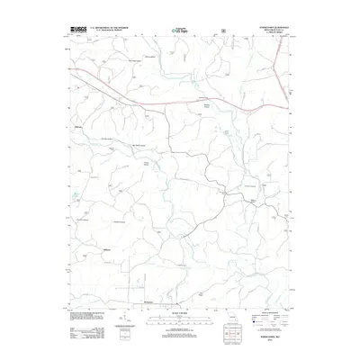
2011 Map of Stringtown
USGS Topo · Published 2011About this map
Cane Creek and its many winding tributaries, including Tenmile Creek, carve through this section of Butler County, defining the local landscape and settlement patterns. The map shows a series of hollows that speak to the area's geography, from Grassy Hollow in the north to Old Still Hollow further south. Small community centers and named crossings are scattered throughout, including Stringtown, Milltown, and Halloran.
Find a feature on this map
62 named features on this map. Tap any name to fly to it.
Don’t see what you’re looking for? This feature index may not catch every label — zoom into the map to look around manually.
Map Details
Editions of this 2011 Stringtown Map
This is the sole edition of this map. No revisions or reprints were ever made.
Other maps of this area

1934 · Williamsville
USGS Topo · 1:48,000

1935 · Poplar Bluff
USGS Topo · 1:62,500

1935 · Acorn
USGS Topo · 1:62,500

1935 · Harviell
USGS Topo · 1:62,500

1939 · Poplar Bluff
USGS Topo · 1:62,500

1940 · Williamsville
USGS Topo · 1:62,500

1940 · Naylor
USGS Topo · 1:62,500

1944 · Naylor
USGS Topo · 1:62,500

1949 · Poplar Bluff
USGS Topo · 1:62,500

1957 · Poplar Bluff
USGS Topo · 1:250,000