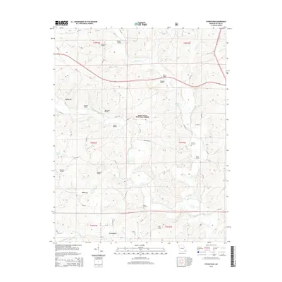
2015 Map of Stringtown
USGS Topo · Published 2015About this map
Mark Twain National Forest dominates the central landscape of this Butler County survey, where the Ozark foothills meet a complex network of creeks and named hollows. The settlement pattern is defined by rural crossroads and small communities like Stringtown, Milltown, and Halloran. The geography is deeply incised by drainages such as Tenmile Creek and Cane Creek, with descriptive local names like Old Still Hollow, Gobbler Hollow, and Wet Slash Hollow providing a window into the traditional land use and character of the region.
Find a feature on this map
74 named features on this map. Tap any name to fly to it.
Don’t see what you’re looking for? This feature index may not catch every label — zoom into the map to look around manually.
Map Details
Editions of this 2015 Stringtown Map
This is the sole edition of this map. No revisions or reprints were ever made.
Other maps of this area

1934 · Williamsville
USGS Topo · 1:48,000

1935 · Poplar Bluff
USGS Topo · 1:62,500

1935 · Acorn
USGS Topo · 1:62,500

1935 · Harviell
USGS Topo · 1:62,500

1939 · Poplar Bluff
USGS Topo · 1:62,500

1940 · Williamsville
USGS Topo · 1:62,500

1940 · Naylor
USGS Topo · 1:62,500

1944 · Naylor
USGS Topo · 1:62,500

1949 · Poplar Bluff
USGS Topo · 1:62,500

1957 · Poplar Bluff
USGS Topo · 1:250,000