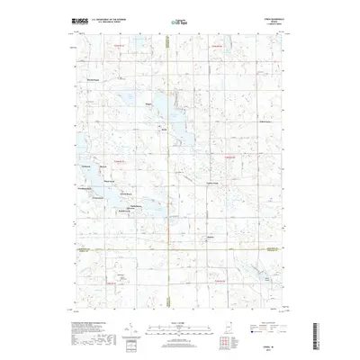
2019 Map of Stroh
USGS Topo · Published 2019About this map
Stroh serves as a central hub in this lake-rich region where the borders of LaGrange, Steuben, Noble, and DeKalb counties meet. The landscape is defined by its glacial hydrology, featuring a dense network of water bodies including Big Turkey Lake, Big Long Lake, and McClish Lake. These lakes are flanked by numerous lakeside communities such as Shady-Nook, Woodland Park, and Gravel Beach, reflecting the area's development as a regional destination for recreation and residential life.
Find a feature on this map
127 named features on this map. Tap any name to fly to it.
Don’t see what you’re looking for? This feature index may not catch every label — zoom into the map to look around manually.
Map Details
Editions of this 2019 Stroh Map
This is the sole edition of this map. No revisions or reprints were ever made.
Other maps of this area

1940 · Orland
USGS Topo · 1:24,000

1941 · Orland
USGS Topo · 1:24,000

1941 · Angola West
USGS Topo · 1:24,000

1942 · Ashley
USGS Topo · 1:24,000

1942 · Angola West
USGS Topo · 1:24,000

1942 · Stroh
USGS Topo · 1:24,000

1947 · Mongo
USGS Topo · 1:24,000

1947 · Wolcottville
USGS Topo · 1:24,000

1953 · Fort Wayne
USGS Topo · 1:250,000

1955 · Corunna
USGS Topo · 1:24,000