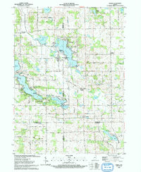
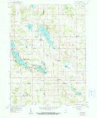
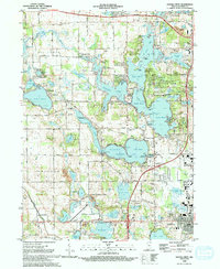
1993 Map of Stroh
USGS Topo · Published 1993This historical map portrays the area of Stroh in 1993, primarily covering Steuben County as well as portions of Noble County, DeKalb County, and LaGrange County. Featuring a scale of 1:24000, this map provides a highly detailed snapshot of the terrain, roads, buildings, counties, and historical landmarks in the Stroh region at the time. Published in 1993, it is the sole known edition of this map.
Find a feature on this map
66 named features on this map. Tap any name to fly to it.
Don’t see what you’re looking for? This feature index may not catch every label — zoom into the map to look around manually.
Map Details
Editions of this 1993 Stroh Map
This is the sole edition of this map. No revisions or reprints were ever made.
Historical Maps of Mount Pisgah Through Time
12 maps found
1939 Angola East
Steuben County, IN
1940 Metz
Steuben County, IN
1941 Angola West
Steuben County, IN

1942 Angola West
Steuben County, IN

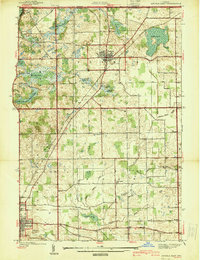
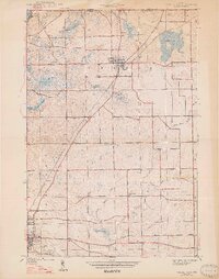
1942 Stroh
Steuben County, IN
1947 Angola East
Steuben County, IN
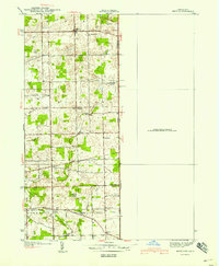
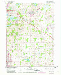
1959 Stroh
Steuben County, IN
1960 Angola East
Steuben County, IN
1960 Angola West
Steuben County, IN
1992 Angola West
Steuben County, IN
1993 Angola East
Steuben County, IN
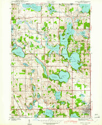
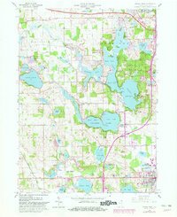
1993 Stroh
Steuben County, IN