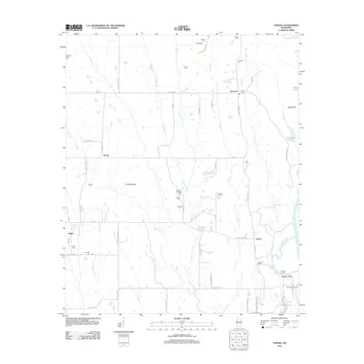
2012 Map of Strong
USGS Topo · Published 2012About this map
The Tombigbee River forms the eastern boundary of this region, where the terrain shifts from the low-lying The Flatwoods to the elevated bluffs along the water. Rural life is anchored by small settlements like Strong, Darracott, and Vinton, each surrounded by a network of family and community cemeteries such as Concord Cem, Lebanon Cem, and Strong Cem. Historical river crossings and access points are evident at Colberts Ford and the Barton Ferry Marina, while Boatyard Bluff overlooks the winding river channel.
Find a feature on this map
71 named features on this map. Tap any name to fly to it.
Don’t see what you’re looking for? This feature index may not catch every label — zoom into the map to look around manually.
Map Details
Editions of this 2012 Strong Map
This is the sole edition of this map. No revisions or reprints were ever made.
Other maps of this area

1953 · West Point
USGS Topo · 1:250,000

1958 · West Point
USGS Topo · 1:250,000

1959 · West Point
USGS Topo · 1:62,500

1960 · Caledonia
USGS Topo · 1:62,500

1963 · West Point
USGS Topo · 1:250,000

1966 · Aberdeen
USGS Topo · 1:24,000

1966 · Amory SW
USGS Topo · 1:24,000

1966 · Prairie
USGS Topo · 1:24,000

1982 · West Point
USGS Topo · 1:100,000

1984 · West Point
USGS Topo · 1:250,000